
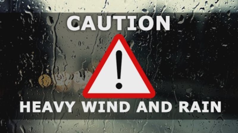
Whilst it was a relatively quiet night for the Auckland region, Aucklanders are being asked to keep a close eye on volatile weather systems and expect a wild afternoon weatherwise says Auckland Civil Defence.
High winds are expected to hit the region later this morning, bringing further bad weather.
As a priority, Great Barrier Island residents are advised to brace themselves for extreme winds in the lead up to midday.
Auckland Civil Defence Operations Manager Aaron Davis says weather systems swirling around the upper North Island are quite changeable, making it hard to predict where the worst weather will affect.
“We know that some pretty messy weather is coming – the difficulty we’re all facing is knowing exactly where it will land."
Aucklanders are asked to plan their day around the conditions and avoid travel if possible.
“This makes it very important for all Aucklanders to be keeping an eye on forecasts and the weather outside, and making sensible decisions for their Sunday afternoon."
“We’ve been getting the wind warning message out to our communities on Great Barrier Island as a priority, they’re likely to be the first area hit by high winds,” he says.
MetService has advised that a small low will cross over Auckland about midday today, accompanied by potentially damaging winds, a chance of tornadoes and another burst of heavy rain. A severe thunderstorm watch is in place between 8am to 2pm.
The worst of the wind and rain should occur around noon or in the early afternoon. Localised gusts of 100-120 km/hr are possible, particularly around Great Barrier Island. This is a fast moving and very unstable system with a risk of small tornadoes anywhere across the region. Winds should ease after 2pm and remaining showers should start to clear.
Mr Davis says high winds may bring trees and power lines down. Power companies are on standby, ready to manage outages which occur.